Summer is beginning to wind down here in the PacNW, so we are getting outside as much as possible, which would be the reason for the lack of blog activity.
The days are getting shorter, the shadows are longer and the the nighttime temperatures are starting to drop into the low fifties. Daytimes are usually sunny and crisp, but there are a few more clouds and the breeze is a little cooler. The countryside is a mixture of green forest growth and brown grasses and bushes. All the plants that are able are sporting thorns and prickers.
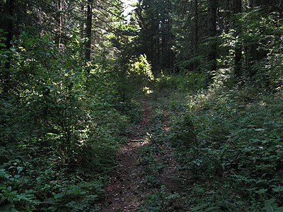
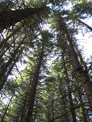
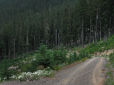
In the shade of the large trees, there is still plenty of green.
Out in the sun, the plants are dry and brown, full of sticky seed cases and thorns.
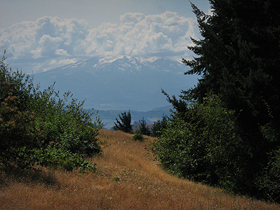
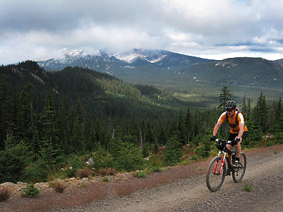
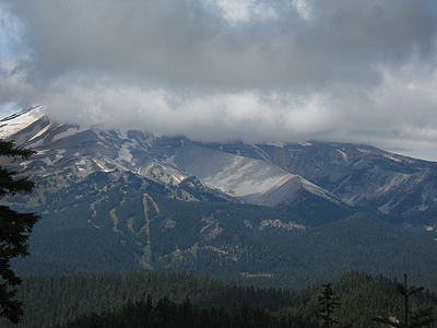
The increasing clouds over Mt. Hood and the rest of the Cascade Mountains are a clear sign that the seasons are changing.
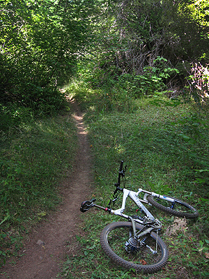
Still plenty of excellent mountain biking available.
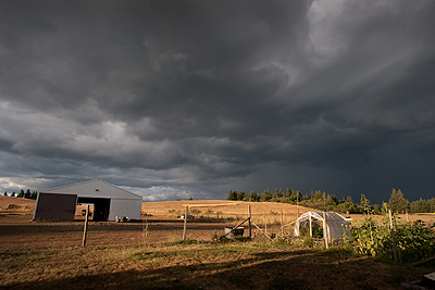
Every time my neighbor, Casey, washes her new car, it rains. She washed and waxed it, so we had a thunderstorm within hours.
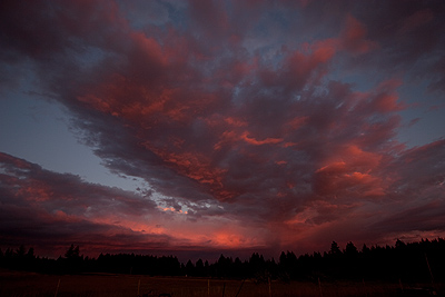
After the thunderstorm passed to the east, there was an awesome sunset.
Yesterday, Don and I went for a bike ride in the Mt. Hood National Forest, an area known as Gunsight Ridge. It was sunny on the valley floor with ominous clouds hanging on the Cascade mountain peaks and cool to cold wind blowing. With Mt. Hood in the background, we left the sunny valley and headed up to the cloudy mountains.
Some of the roads and trails are very steep, the tops of the mountains are more than 2000′ above the valley floor.
How high do you go? The photo below is a close-up of Mt. Hood across the valley from Gunsight Ridge. In the left/center of the photo, you can see the ski runs off the Hood River Meadows chairlift at Mt. Hood Meadows Mountain Resort. Above those ski runs and to the right are Heather and Clark Canyons. So at this stop, we are just about as high as the middle of the ski area and still climbing.
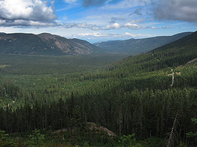
This is getting pretty far off the beaten path. The photo below is the Hood River valley. The road on the right of the photo is where we came from.
Easy to get lost? Sure, happens all the time. The locals pretty much realize the situation and carry maps and/or GPS units, even if they are familiar with the area. Better safe than sorry.
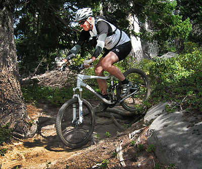
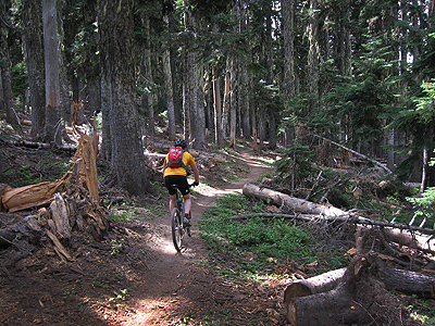
The trails are challenging. They can go from rocks on the trails….
To rocks and roots….
To just plain rocks.
After a few hours of climbing, the only thing left to do is burn up the downhill back to the valley.
More stuff coming here on the blog, on the WatermanAtWork website and the WatermanAtWork YouTube channel so check back soon.

